Water
Geo-data-driven solutions for climate adaptation and nature conservation

Jump to
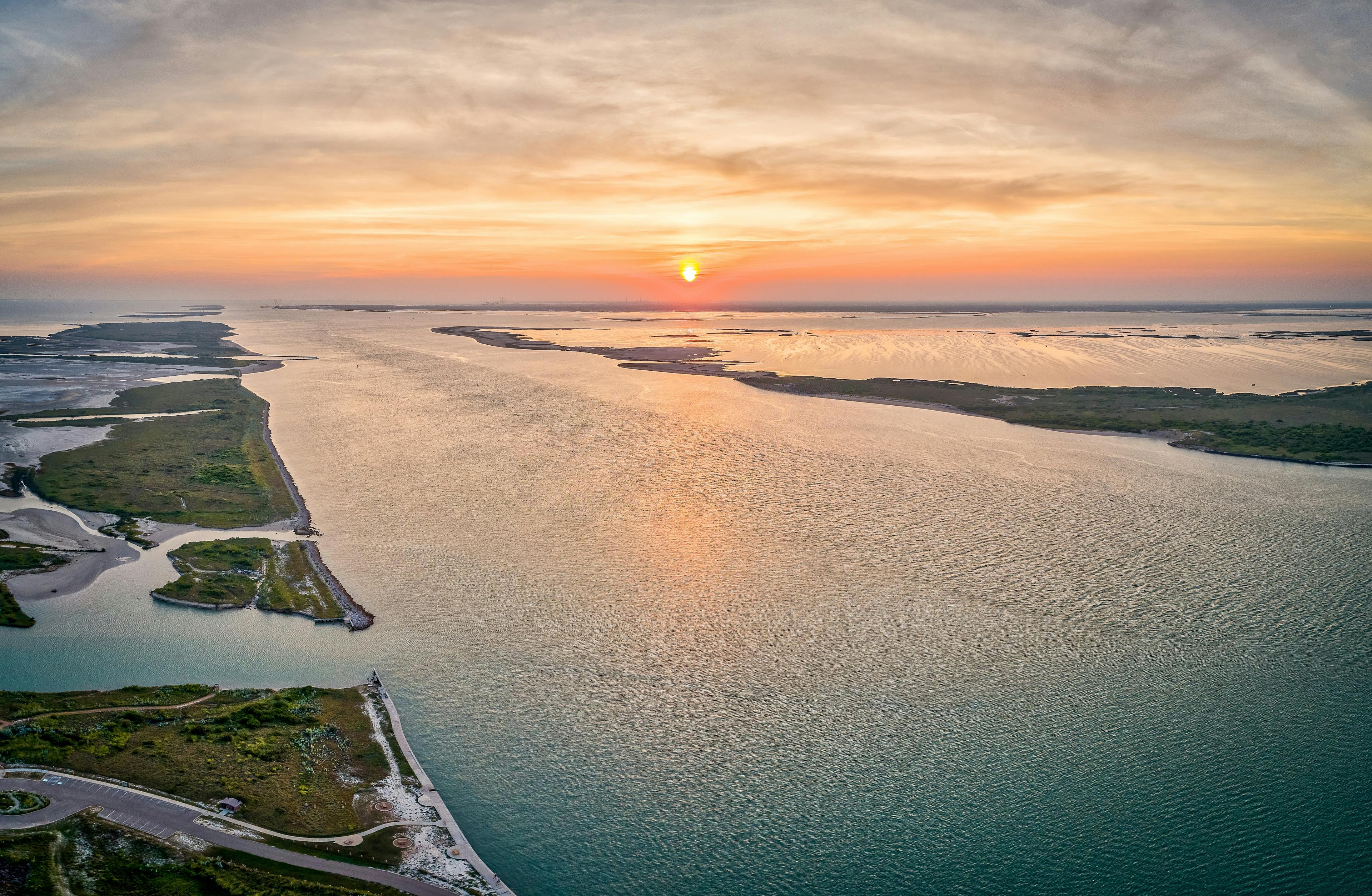
Our view on water
With climate changing and nature being under increasing pressure, it is crucial to address climate impact now and to conserve our natural ecosystems in order to sustain life on Earth and ensure the well-being of future generations. Fugro operates at the nexus of the world's climate and nature challenges. Our climate solutions help protect our environment by mitigating global warming through aiding the energy transition, assessing climate-related risks, and adapting to climate change by utilising a variety of solutions including nature’s own abilities and ecosystem services. Fugro’s nature solutions help to enhance climate mitigation that capture carbon, and support nature-based climate adaptation, while conserving and restoring habitats and boosting biodiversity.

Robert Hoddenbach
Industry Lead - Water
More information on Geo-data-driven solutions, nature conservation and climate adaptation
Why is climate adaptation important and how are we impacted?
While we all try to reduce carbon emissions to mitigate climate change impact, many of us already face current climate related challenges and unfortunately impact is anticipated to increase in the future. Millions of people live in regions highly vulnerable to climate impacts and vulnerable communities disproportionately bear the negative impacts. Therefore, there is a need to become more resilient not only by mitigating impacts but also by adaptation.
Water is a critical medium through which climate change impacts ecosystems and human societies. The hydrological cycle however intensifies due to climate change, exacerbating existing vulnerabilities. Higher temperatures and extreme weather conditions affect rainfall, snowmelt, river flows, sea levels and groundwater availability. And climate (change) not only relates to water quantity, but also water quality is impacted, posing a threat to one of our primary resources.
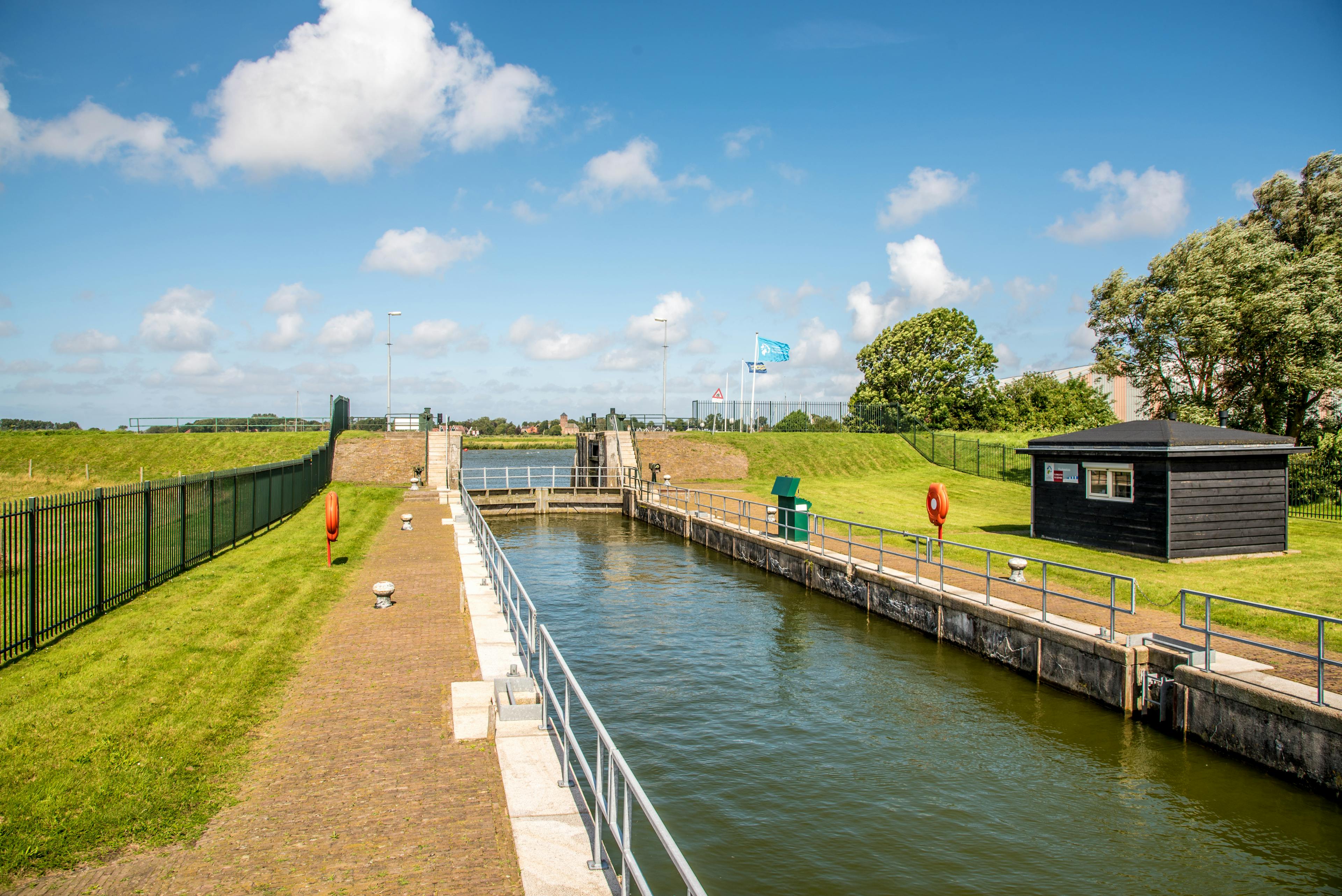
How is Geo-data used for climate adaptation
Climate adaptation and resilience are essential in addressing the growing challenges posed by climate change. Geospatial data plays a crucial role in identifying at-risk areas and quantifying these risks, monitoring environmental changes, and guiding sustainable interventions. Through collective action and the application of geospatial insights, ensuring an inclusive approach, we can achieve a greater impact, using nature based and engineered solutions to adapt to a changing climate. Collaborative efforts ensure that our actions are inclusive, effective, and focused on building a more resilient future for all.
Partnerships are at the heart of our efforts, enabling us to work alongside communities and partners to implement geospatial-informed climate adaptation strategies that protect vulnerable coastal zones and populations.
Why is nature conservation important?
As we strive to safeguard our environment, the urgency of addressing biodiversity loss is growing. Countless species are at risk, and fragile ecosystems are further deteriorating. This includes aquatic ecosystems in our rivers, lakes and oceans. Major causes for biodiversity loss are for example land use changes, overexploitation and pollution.
Climate change is also a major and growing factor in biodiversity loss, and yet the natural world plays a crucial role in minimising global temperature rise and enhancing resilience. Mitigating and reversing biodiversity decline is a global goal, supported by the Kunming-Montreal Global Biodiversity Framework and new nature restoration laws.
How is Geo-data used for nature conservation?
Fugro supports conserving and restoring our ecosystems in an informed and data-driven way. Using our domain and Geo-data expertise, we help our clients monitor and assess ecosystems like mangroves, seagrasses, and coral reefs, including their biodiversity.
By employing geospatial data, we gain a deeper understanding of the complex relationships between human and natural systems. This knowledge enables us to develop more effective conservation strategies, mitigate potential impacts and monitor ecological changes, ensuring that actions are grounded in robust scientific evidence and tailored to the specific needs of each ecosystem.


Business news
Fugro and IOC/UNESCO launch working group to unlock private-sector ocean data
Developing solutions for making ocean data publicly available.
Long read
Building sustainable coastal infrastructure: our lives and livelihoods depend on it
Insights from Geo-data are providing decision makers with accurate real-world information and predictions, enabling them to build more robust and sustainable infrastructure that is longer lasting, adaptable and cost-effective.
Podcast
Mapping Italy's seagrass for biodiversity gain
The International Hydrographic Organization (IHO) has a 100-year history of mapping the world's oceans. John Nyberg, technical director, explains how the organisation's role in understanding our oceans is evolving.
Podcast
Scaling ocean technology through public-private collaboration
How can we map, model and analyse the impacts of climate change and mitigation actions on oceans and coasts around the world?
Long read
What lies on our ocean floors?
Discover the secrets hidden beneath the ocean floors with Fugro. Our expert team uses advanced technology to explore and map the ocean floor, uncovering valuable resources and vital information. Learn more about what lies beneath the waves with Fugro.
1 / 5
Technical papers on Water
All technical papersSub-industries


Contact us
Get in touch Water enquiries

Robert Hoddenbach
Industry Lead - Water

Hydrography
Discover the power of hydrography in safeguarding our planet
Our hydrographic expertise are key to the success of climate and nature projects. With detailed hydrographic data, we enhance the understanding and management of marine ecosystems, supporting biodiversity, natural habitat preservation, and climate impact mitigation. Additionally, our services ensure safer and more efficient operations for marine and coastal projects, fostering sustainable development and minimising environmental impacts.